Training

DGCA Drone Pilot Training Course

Obtain your DGCA certification as a skilled and responsible drone pilot. Our comprehensive training covers regulations, flight planning, and safety protocols, ensuring compliance with aviation authorities. Master aerial maneuvers and gain hands-on experience with practical flight simulations. Take off with confidence and join the ranks of certified professionals in the drone industry.

Advanced Drone Training

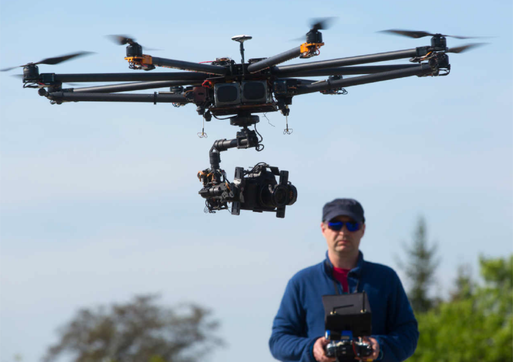
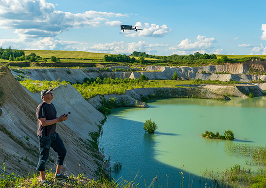
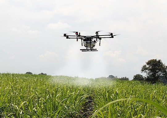
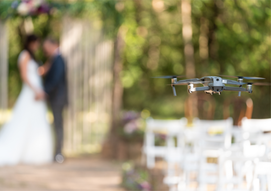
Elevate your drone expertise with our advanced course, tailored for experienced pilots. Explore complex flight techniques, cinematic maneuvers, and dynamic flight scenarios. Unlock the potential of specialized payloads and advanced drone applications, expanding your capabilities across various industries. With certification in advanced drone training, become a sought-after drone operator for cutting-edge projects.

Agriculture Drone Training

Become a certified agriculture drone specialist, revolutionizing farming practices with aerial solutions. Learn to analyze crop health, monitor irrigation, and optimize field management using drones equipped with advanced sensors. Obtain insights into precision farming and data-driven decision-making for sustainable agricultural practices. Embrace the future of farming with our agriculture drone training certification.

Wedding Cinematography & Videography

Capture unforgettable moments from the sky with our wedding cinematography course. Learn aerial composition, storytelling, and creative techniques to produce captivating aerial wedding footage. With our certification, showcase your talent and offer unique perspectives to capture love stories from the air, making weddings genuinely magical.

Drone Building Course

Unleash your passion for drones with our hands-on drone-building course. Dive into electronics, aerodynamics, and custom drone configurations. Build your own personalized UAV and gain a deeper understanding of drone mechanics. Receive certification as a skilled drone builder, empowering you to create unique and tailored drone solutions.

GIS Aerial Survey & Mapping

Become a certified GIS aerial survey expert, blending drone technology with geographic information systems. Learn to capture high-quality aerial imagery for accurate mapping and surveying applications: master data processing, analysis, and georeferencing techniques for comprehensive mapping solutions. With our certification, we excel in GIS aerial surveying and mapping projects.

Implementation of Python for Drone

Elevate your drone capabilities with Python programming expertise. Learn automation, data analysis, and software integration for drone applications. Unlock the power of Python to create custom drone functionalities and streamline your workflows. With our certification in Python implementation for drones, become a proficient drone programmer with limitless possibilities.

LOGO
Ready to explore the world of drone solutions? Contact us today for personalized consultations and exceptional customer service.

Contact Us

Follow Us

@All Rights Reserved by Astrox.