Services

Agriculture pesticides

Drones equipped with spraying systems can provide precise and targeted application of pesticides to crops, resulting in reduced chemical usage and increased productivity. Here’s an overview of how agricultural pesticide services through drones work.

Agriculture and Crop Monitoring

Drones equipped with multispectral or thermal cameras provide valuable data for crop monitoring, plant health assessment, irrigation management, and precision agriculture. It help farmers optimize crop yields, detect diseases, and manage resources efficiently.

AGRI DRONE

GIS Surveying and Mapping

Drones equipped with GPS and mapping software provide efficient and accurate surveying and mapping services for construction sites, infrastructure projects, land surveying,Minig,Oil and Gas,Railways,Telecommunicatin  and urban planning.

Inspection and Monitoring

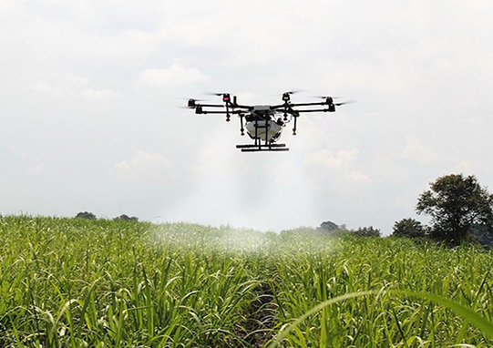
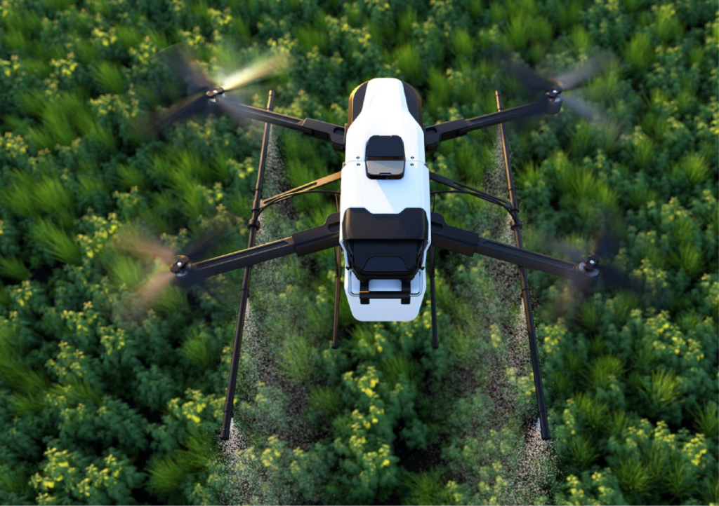
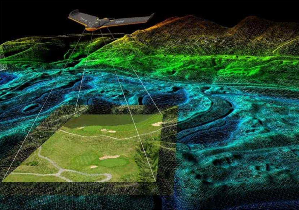
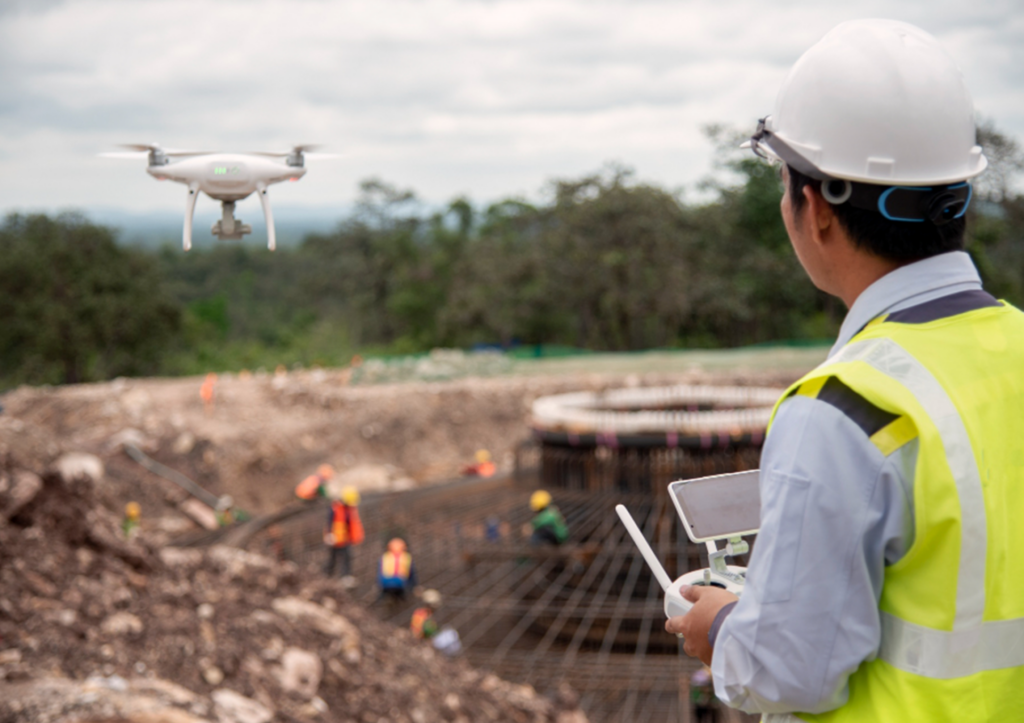
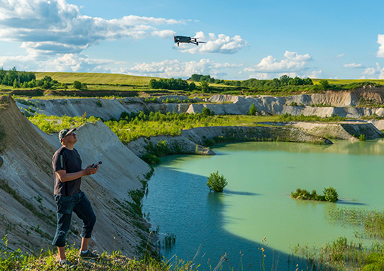
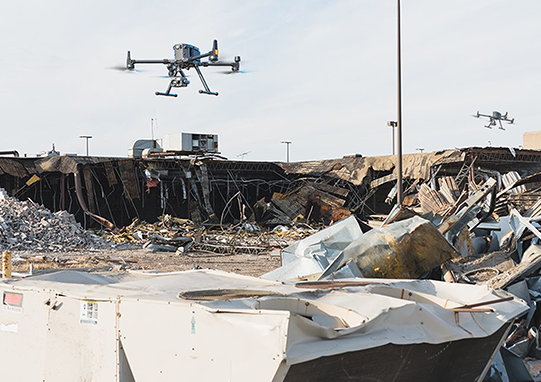
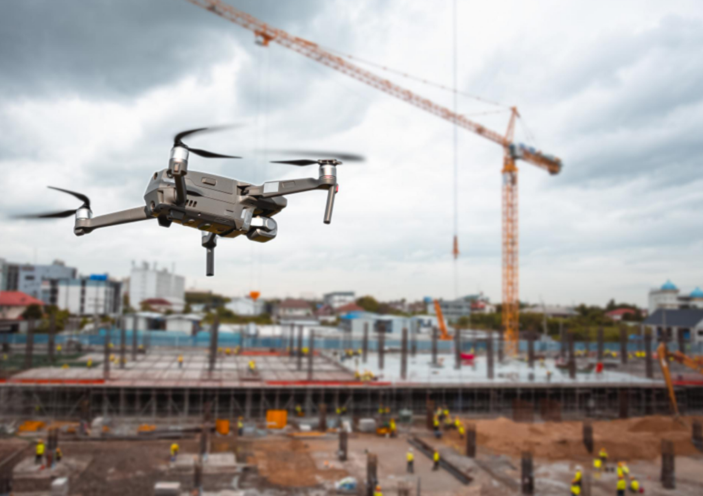
Drones equipped with specialized cameras and sensors are used for inspection and monitoring of infrastructure, buildings, power lines, pipelines, solar panels, wind turbines, Chimney, Warehouses, Building and roof inspection and other assets. It helps detect structural issues, assess damage, and monitor maintenance needs.

DRONE PHOTOGRAPHY

Surveillance , Aerial Photography &Videography

Drones equipped with high-resolution cameras capture stunning aerial photos and videos for a wide range of purposes, including real estate marketing, landscape photography, event coverage, and cinematography.  Drone used to capture real-time video footage and images from an elevated perspective and monitoring the traffic,It can cover large areas quickly and provide a wide field of view, allowing for comprehensive surveillance of the targeted area.

Delivery and Logistics

Drones are being explored for last-mile delivery services, particularly for small and lightweight packages in remote or congested areas.We offer faster and more cost-effective delivery options while reducing road congestion and carbon emissions.

DRONE DELIVERY

Search & Rescue Operations

Drones equipped with thermal cameras and searchlights assist in search and rescue operations, particularly in remote or inaccessible areas. It can cover large areas quickly, provide aerial perspectives, and aid in locating missing persons or objects.

Environmental Monitoring

Drones are used for environmental monitoring and research purposes, including wildlife tracking, forest fire detection, pollution assessment, and ecosystem mapping. We provide valuable data for environmental conservation and management.

Disaster Response & Damage Assessment

Drones play a crucial role in disaster response by rapidly assessing the extent of damage in affected areas. It provides real-time aerial footage and imagery, helping emergency responders plan relief efforts and prioritize resources.

Construction & Site Inspections

Drones assist in construction site inspections, progress monitoring, and documentation. It capture aerial images and videos of construction sites, track project timelines, and aid in identifying potential issues or deviations from plans.

AGRI DRONE

Insurance & Claims Assessment

Drones are used by insurance companies to assess damages and process claims efficiently. Drone provide detailed aerial imagery and data for property inspections, accident reconstruction, and damage assessment.

Filmmaking & Entertainment

Drones have revolutionized the filmmaking and entertainment industry, enabling aerial shots and perspectives that were previously difficult or expensive to achieve. They are used in movies, TV shows, commercials, and live events.

LOGO
Ready to explore the world of drone solutions? Contact us today for personalized consultations and exceptional customer service.

Contact Us

Follow Us

@All Rights Reserved by Astrox.